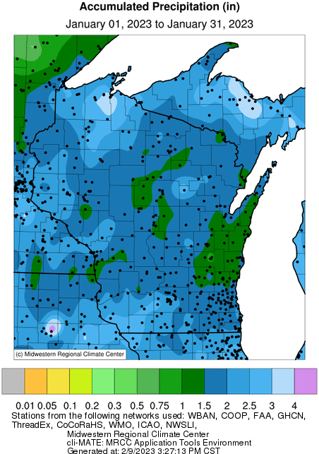
View monthly temperature, precipitation and snowfall totals and departures from the 1991-2020 climate normals from 2005 through the current year. Maps courtesy of the Midwestern Regional Climate Center.
Some maps will not be available for every month — for example, there are no snowfall maps for the summer months.